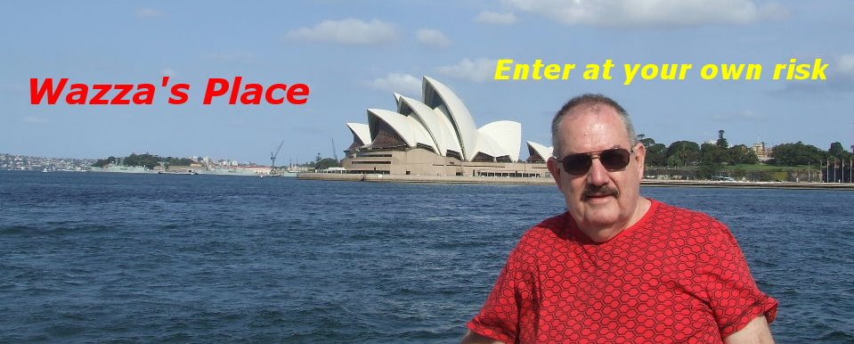
Journey to Sydney and Back, Part 2
We’re going to learn a little bit about the
at some photos I took during my visit to
from Holties House.

The Sydney Harbour Bridge is the main crossing of Sydney
Harbour carrying rail, vehicular, and pedestrian traffic between
the Sydney CBD and the North Shore. The dramatic water vista
of the bridge together with the nearby Sydney Opera House is
an iconic image of both
colloquially referred to as the coat hanger because of its
arch-based design.
The bridge was the city's tallest structure until 1967.
According to Guinness World Records, it is the widest long
span bridge in the world and is the highest steel arch bridge
with the top of the bridge standing 134 metres (429.6 feet)
above the harbour. It is also the fourth longest spanning arch
bridge in the world.

The bridge's two ends are located at Dawes Point (in
Rocks area) and Milsons Point (in
It carries six lanes of road traffic on its main roadway, two lanes
of road traffic (formerly two tram tracks) and a footpath on its
eastern side, and two railway tracks and a bicycle path along its
western side. The steel used for the bridge was largely imported. About 80%
came from
was Australian-made. The granite used was quarried in
Over 1500 workers were employed on the
each year over the eight-year building period.
The standards of industrial safety during construction were poor by
today's standards. Sixteen workers died during construction, but
surprisingly only two from falling off the bridge.

Construction of the arch of the bridge began in 1929, with two
separate teams building the arch on each side using creeper cranes.
The first panel was erected on the southern side in March 1929.
The southern end of the bridge was worked on a month ahead of
the northern end, in order to detect any errors. During construction
the two halves of the arch were held up by numerous support cables.
Once the arch halves were completed the cables were slowly
released to bring the two halves of the arch together.
This was finalised on the afternoon of
The total financial cost of the bridge was £10,057,170
(double the original quote). The bridge was formally opened on
Lang, was to open the bridge by cutting a ribbon at its southern
end. However, just as he was about to do so, a man in military
uniform moved forward on horseback and slashed the ribbon
with a sword, declaring the bridge to be open "in the name of
His Majesty the King and the decent and respectable citizens of
New South Wales". He was promptly arrested. The ribbon was
hurriedly retied and Lang performed the official opening ceremony.
After he did so, there was a 21-gun salute and a RAAF fly past.

The intruder was identified as Francis de Groot. He was convicted
of offensive behaviour (he was fined £5) after a psychiatric test
proved he was sane. De Groot was not a member of the regular
Army but his uniform allowed him to blend in with the real cavalry.
He was a member of a right-wing paramilitary group called the New
Guard, opposed to Lang's leftist policies.
100,000 school children marched across the Bridge on
before the official opening day. It was rumoured they were asked not
to march in time in case the vibrations might cause the bridge to fall!
Today an average of around 161,000 vehicles use the Bridge each day.
When the Bridge opened in 1932 only 11,000 vehicles crossed daily.

of weeks sightseeing and enjoying the many delightful restaurants
and visiting the various tourist attractions.


Peter on the Manly ferry
overlooking the
While Peter was watching one of the footy finals on the
t.v. back at the motel, I decided to walk across the bridge.
That morning Peter and I had taken the train into the city.
He went on the bus tour to
the city bus tour that we had taken the day before. This time
I decided to get off at those stops I wanted to visit with my
camera instead of taking photos from the moving bus. It was
at one of the stops at The Rocks were I departed the bus to
begin my walk across the bridge. The length of the walk is just
over one kilometer and takes about 20 minutes to complete.
To return one can either walk back, take the train or
a ferry back to Circular Quay. I chose to take the ferry.
It was a brilliant sunny day and the views from the bridge
were spectacular.

The Sydney Opera House taken from the Harbour Bridge

The Hyatt Hotel
just below the
Harbour Bridge
 One of the Manly Ferries in front of the Opera House.
The suburb of Kirribilli,
one of the most affluence
areas of
Another way to view
Since 1998, Bridge Climb
tourists to climb the southern half of the bridge. Tours
run throughout the day, from dawn to dusk and are only
cancelled for electrical storms or high wind. Night climbs
are also available. Groups of climbers are provided with
protective clothing and are given an orientation before
climbing. During the climb, attendees are secured to the
bridge by a wire lifeline. Each climb begins on the eastern
side of the bridge and ascends to the top. At the summit,
the group crosses to the western side of the arch for the
descent. Each climb is a three-and-a-half-hour experience.
There are some restrictions in place. Visitors are not allowed
to bring their own cameras due to the fact the camera could
fall and hit people or cars below. Each person is required to
go through a metal detector and take an alcohol-breath test.

Click on the photo to see climbers on top of the Bridge.

Views of a few of
the Terrace homes
in Kirribilli.


What a view, looking
down the street towards
the harbour.
One of the most visited parts of
foot of the
shores of Sydney Cove, is The Rocks. This is the
foundation place of
area of
transformation.

There are about 33 galleries, museums
and art institutions. The Rocks has an exciting array of
artworks from Aboriginal and modern art to sculpture,
photography, glass, ceramics and textiles.


Some views of the
old district of The Rocks.
Originally home to local Indigenous people, the Cadigal,
The Rocks is the site of
in 1788.
changes, from a convict town to a city port by the mid 1800s.
The 1900s were a period of change and immense upheaval.
streets and homes were demolished when landmark events
took place such as:
The Government resuming the area following the rat plague in 1901.
The construction of the city circle railway from the 1920s to the 1950s.
The building of the
The Cahill Expressway being built in the 1950s.


More views of the
old district of The Rocks.

Roadway to The Rocks underneath the Harbour Bridge.
With this one exception, all the smaller non-descript buildings
of the period of first settlement at Sydney Cove have vanished.
This sandstone structure was built in 1815-16 as the
‘Coxswain’s Barracks’ attached to Governor Macquarie’s
dockyard and stores on the shores of Sydney Cove.

The present name comes from John Cadman, who took up
residence there in 1827. The building has largely survived
because of constant Government or institutional ownership,
first as a barracks, then as Cadman’s residence as
superintendent of Government Craft from 1826 to 1845.
Restoration began in 1972 and the building is now used
as an information centre by the National Parks and Wildlife Service.

Every New Year’s Eve in Sydney there is a huge fireworks
display and if you’re in Sydney the spectacle of being among
the million odd people who crowd the shores of Sydney and
swell the waterways with hundreds of small crafts, is well
worth the visit.

On my next post we will be visiting the Sydney Opera House,
the magnificent restored
to Manly on one of
![]()


6 comments:
Gee, looks like a good place to go for a sightseeing trip Wazza, well researched as usual.
Do you know you lost a line of text in the rocks area? and missed the lli in your opening paragraph.... picky!!!!
Fabulous!
Thanks for the tour and pictures!
Have a wonderful day!
*^_^
(=':'=) huggles
(")_ (")Š from
the Cool Raggedy one
Great photos, Warren. The bridge is a marvel of modern engineering, isn't it?
Sounds like you two enjoyed yourselves without getting into too much strife...well done...lol!
Warren ~ Some truly awesome shots of the Bridge, The Rocks, Etc. ~ THX for taking me back! ~ jb///
Have a wonderful weekend!
*^_^
(=':'=) huggles
(")_ (")Š from
the Cool Raggedy one
Hi Warren ~~ I thought I lefta comment the other night. Anyway this is a wonderful post with the usual great photos and the usual info. You
do put a lot of work and research into all your posts. Thanks for taking us with you and Peter on this trip. Take care, my friend, Regards, Merle.
Post a Comment