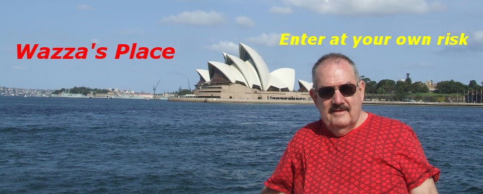
Brisbane to Perth with Holtie Part 3
The next part of our journey was from
a distance of 660km (410 miles). This was along the
and although the road was sealed there was not a lot to see, only
miles and miles of bush.
Tennant Creek was named after John Tennant of Port Lincoln by
John McDouall Stuart. In 1872 a temporary building for a telegraph
repeater station was erected near the watercourse for Tennant
Creek and, in 1874, the occupants of the Overland Telegraph
Station completed the stone buildings, which remains today.
After the completion of the Telegraph Station it remained an
isolated group of buildings in the middle of nowhere.

The Overland Telegraph Station Buildings.
The town of
of large gold deposits in the 1930s which gave rise to
last major gold rush.
The area grassy plains and flat-topped hills give way to granite
boulders and examples of this can be found at the Devil’s Marbles
which is located 100 km to the south of Tennant Creek.

We didn’t go down to the Devil’s Marbles as the next part of our
journey took us north, but both Peter and I have been to view
the Devil’s Marbles on different journeys around Australia and I
thought a photo of this magnificent rock formation was worth
including here.
The Devil's Marbles are a group of boulders that have been eroded
to their present shapes over millions of years by wind and rain,
and to the local Aboriginal people, they are the eggs of the Rainbow
Serpent, a mystical ancestral being from the Dreamtime.
We stayed overnight at Tennant Creek in our tent at a caravan park.
The next morning we had 690km to our next overnight stay at
Timber Creek. The first part we drove on sealed road until we
came to the Buchanan Highway.

.............Camping at Tennant Creek.
We had decided to go in April as this was the dry season
(March to May) in the Northern part of Australia. In the wet
season (December to February) a lot of the roads are impassable
and is too dangerous to go out in this sort of country, even in a
4WD. It is recommended not to use the family car in the areas we
are now going to travel, especially towing a caravan, as the roads
are just not suitable for these vehicles. Mind you we did see some
family vehicles on the Buchanan Highway and if the road hadn't of
been recently graded these cars would of been in serious trouble.

Click on the map to enlarge picture to view the Buchanan Highway.
Just passed the small
pioneer Nat Buchanan, who established the area's Wave Hill
station in 1883.

The surface of the road is corrugated in parts although a grader
team had gone over the road levelling a lot of the corrugations
and so a lot of the road was quite flat and easy to travel on.
Sometimes the road is bone jarring and teeth-chattering and if
you’ve ever travelled on corrugated roads you will know what I
mean. We make excellent time, at times flashing past wide
expanses of savannah (The word savannah is derived from the
16th century-Spanish word zavanna, meaning “treeless plain”,
but today it is applied to a more diverse areas of landscapes from
the truly treeless grasslands of parts of
tree-dotted grasslands of
of
is sufficient to prevent the establishment of desert vegetation
but too low to support rainforests.) interspersed by sparse forests
of spindly brown trees.
 This is cattle country, grazed by Brahmans that belong to enormous
stations like Victoria River Downs, or "The Big Run", as this
2300 sq km station is known.

A small termite (ant) hill, some reach over 20feet.
There is only one place to refuel on the
and this is at Top Springs, some 214 km before our overnight
stop at Timber Creek. The journey to Timber Creek was
taking longer than we thought.
Around
bitumen road at Timber Creek before nightfall.
There was about 70km to go to reach Timber Creek and it
was too dangerous to travel on these roads at night. Hitting
kangaroos at dusk was a real threat and the road we were
travelling on was narrow, windy and not recommended to
travel on in darkness
that other cars had turned off there for a break in their journey.
It was a two tired track that lead just a small distance off the
road to where a camp fire had been made besides a small
stream.
same spot on their journey around
earlier and had even launched a boat to try their luck at
fishing, apparently without any success.
This seemed like a good spot to stay for the evening.
The weather had been excellent with no sign of rain, so after
the dinner meal using the camp fire we decided to sleep
under the stars.
We pulled out our swags and settled down amidst the sounds
of distant wild cows bellowing and the occasion howl of far off
dingoes.
We awoke at dawn thinking to have some breakfast before
setting off to Wyndham, but no, a swarm of small bittie bush
flies descended upon us and on one time I counted over
60 flies on Peter’s back.
These little buggers made it impossible to even attempt to
have breakfast as they liked to get into your mouth and up
your nose, so we thought “stuff this” (or words to this effect)
and decided to make a hasty departure.
Once back on the road we spent the next few minutes trying
to get the flies out of the car.
Ah the joys of outback travel!!

We drove into Timber Creek where our vehicle was no
doubt happy to find its tyres on a sealed road once again.
Our next stop was at Kununurra, before we continued onto
where we were going to stay for a few days.
In Part 4 we stay at
This was to be one of my favourite parts of our trip.
![]()


5 comments:
Hi Wazza, oh the joy of it all... flies, gravel roads, dust... and lots of fun.
I think you condensed the dry season a bit there buddy April to November is closer, there is little to no rain apart from during the cyclone season Dec - Mar.
Great story, Wazza...I'm enjoying it thoroughly...except for those bloody flies! Ewwww...they get right into one's nerve endings (as well as eyes, nose and mouth!).
I look forward to your next episode of "Burke Peter and Wills Waaza's" trip across the outback. :)
Thank you again for sharing your journey with us.
The history and facts about places is wonderful.
Those flies sound horrible!
Great pictures.
Fascinating story!
Have a great day!
Hugs
Hi Warren -- A wonderful write-up of a very nice trip you and Peter had.
I can see now why there weren't motels or B&Bs for you to stop at.
Your trip reminds me of the trip we had around the east side of Maui. We had Jeeps or we could have never made it. Nor could we have been able to visit the Lindberg ranch.
You caught me Warren (thanks for the nice long visit, I know you are busy keeping up and I'm honored) in my soft place.
I promise to blog about a topic and generally don't do it. Most don't catch me at it.
..
Hi Warren ~~ Good story continuing.
Thanks for you e mail, I have posted theat making a baby joke before. As for the "hot chicl" I think "old duck" would suit better. I showed the photo of Peter and me to a friend who asked "is your brother older or younger?" Don't tell him. Take care,
Cheers, Merle.
Post a Comment